Summit Walking Tour
Interactive map of summit POIs. Tap a marker or scan a QR code posted at each location for text, audio narration, and historical photos. Fully functional with no cell signal once loaded.
MVPMount Washington, New Hampshire · 6,288 ft
Printed daily on the summit · Est. July 20, 1877
A self-guided summit experience. Live weather, augmented reality peak identification, and the history of the world's most extreme weather station—served from 6,288 feet.
What it does
The MVP covers what visitors need when they're standing at 6,288 feet. Offline, no app store, works on any phone.
Interactive map of summit POIs. Tap a marker or scan a QR code posted at each location for text, audio narration, and historical photos. Fully functional with no cell signal once loaded.
MVPPoint your camera at the horizon. Names of visible peaks and lakes appear as overlays, calculated from GPS position and compass bearing against the USGS GNIS dataset. No internet required once loaded.
MVPLive summit conditions from the NH Mesonet at 5-minute intervals, plus the MWOBS Higher Summits Forecast so you can check conditions the night before your visit. Cached readings are always timestamped.
MVPKnow before you go
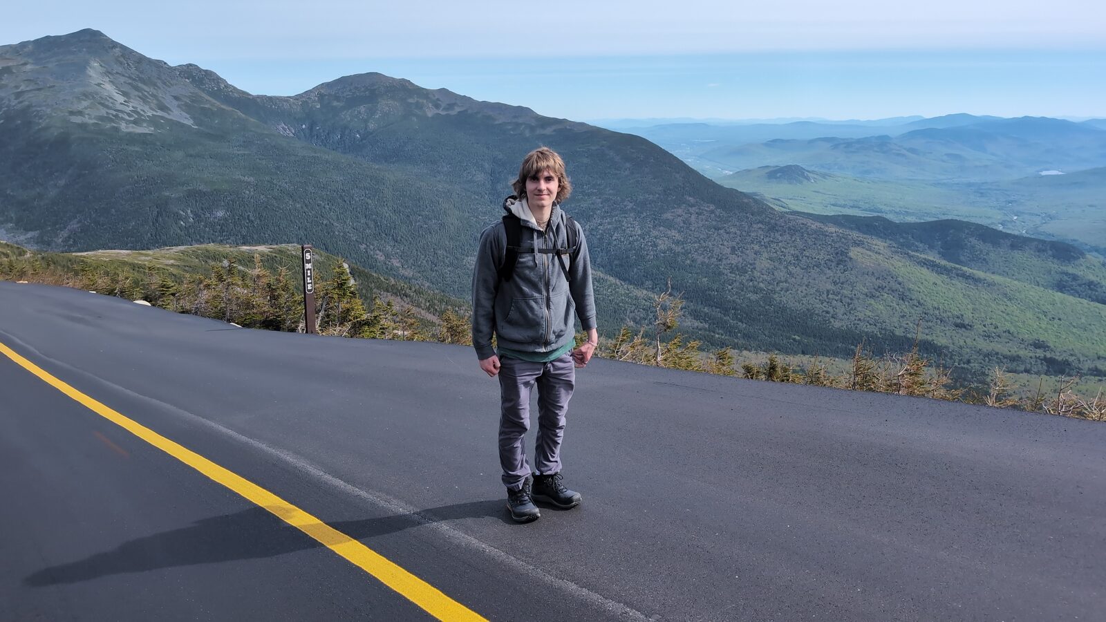
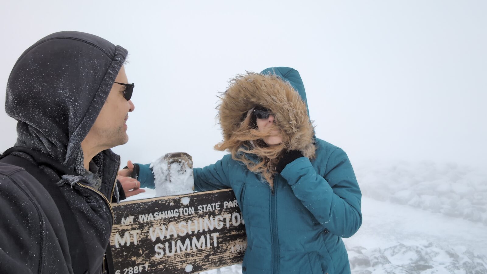
The MWOBS Higher Summits Forecast and live Mesonet feed exist for exactly this reason. These two photos are from the same summit sign, taken on different visits.
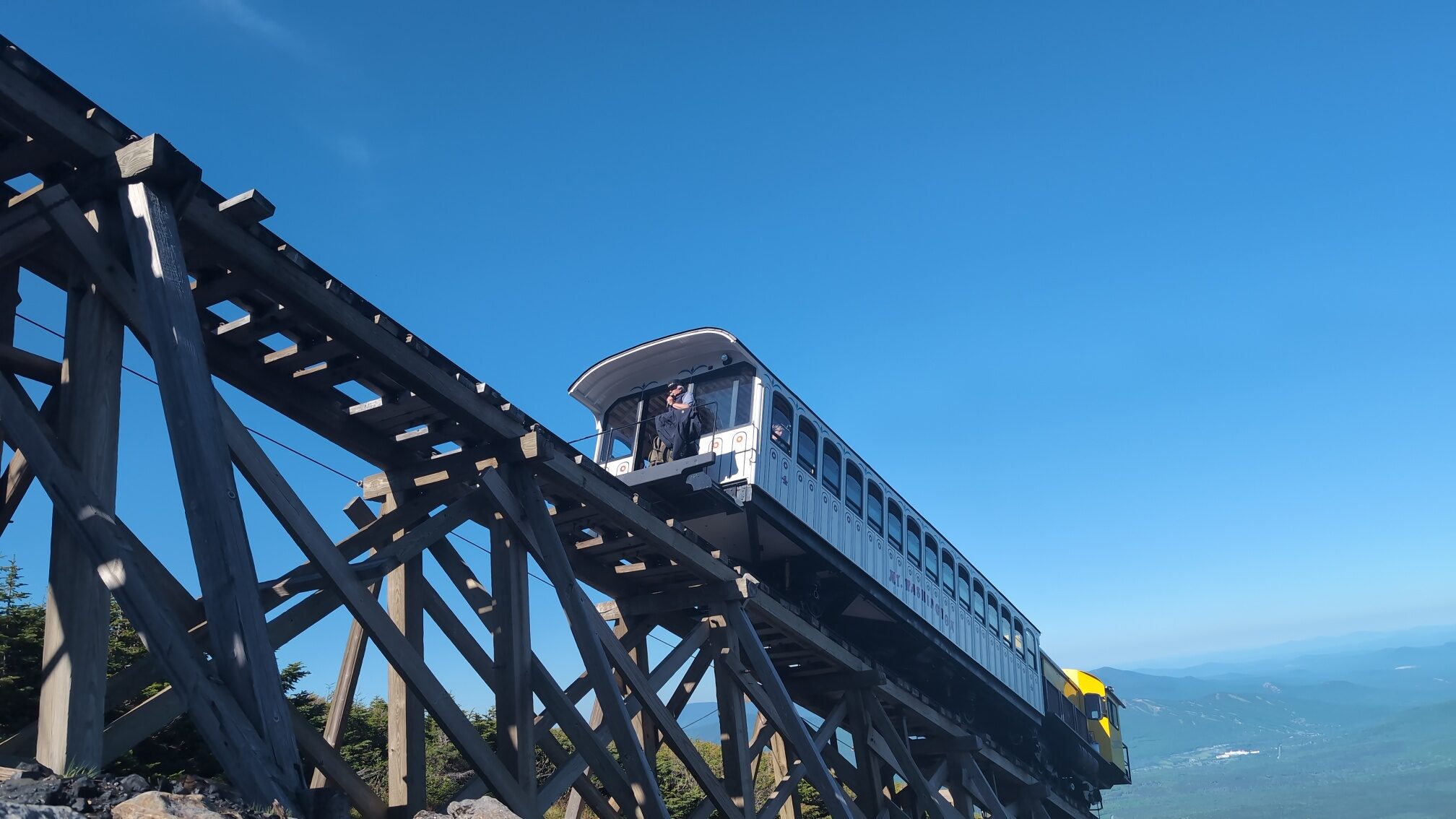
Summit Tour Stop
The Mount Washington Cog Railway has carried passengers to the summit since 1869, making it the world's first mountain-climbing cog railway. The upper terminus is a walking tour stop with audio narration covering its history, the cog-and-rack engineering, and its role in opening the summit to mass tourism.
Est. 1869 · 3.1 miles base to summit · Maximum grade 37.4%
National Historic Landmark since 1976
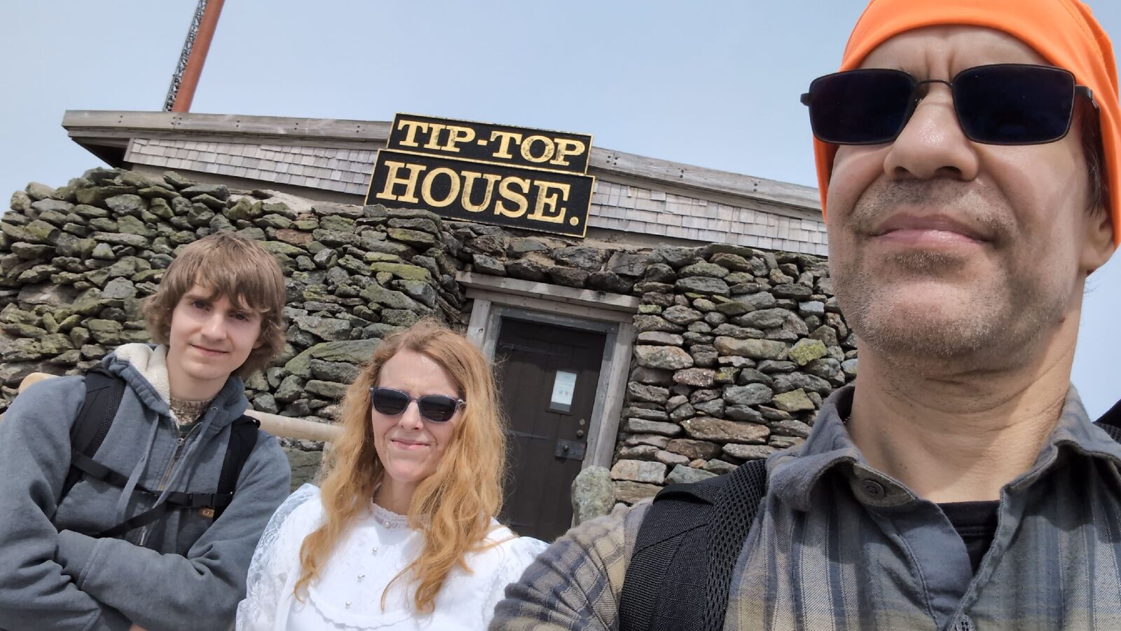
Summit Tour Stop
Built in 1853 as a stone hotel, the Tip Top House is the oldest surviving structure on the summit. Henry Burt set type for Among the Clouds inside this building starting in 1877, running the press on a Campbell cylinder press hauled up by cog railway. The building is preserved and open to visitors, and is one of the walking tour's most historically significant stops.
Built 1853 · National Historic Landmark
Where Burt's Among the Clouds was printed, 1877–1884
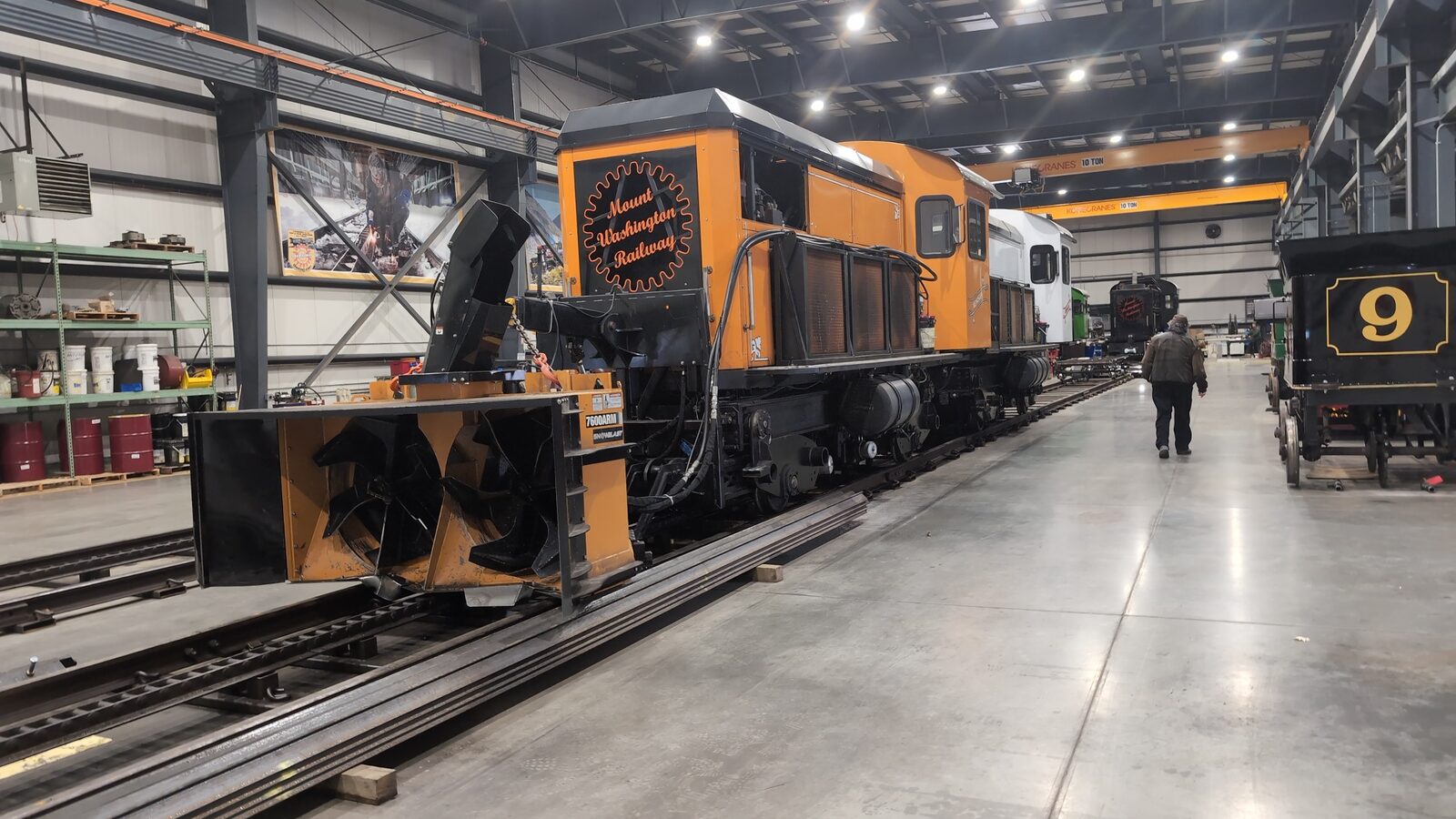
Phase Two · Driving Tour Stop
The Cog's maintenance facility in Marshfield houses the fleet year-round. The orange diesel locomotive carries a snowblower attachment for clearing the track after storms. Historic car No. 9 is visible at right. Phase two of the driving tour includes a base station stop with narration on the engineering and 155-year operational history of the railway.
Mount Washington Railway · Marshfield Base Station
Phase two driving tour stop
Phase Two
The Mount Washington Auto Road has carried visitors to the summit by carriage, automobile, and on foot since 1861. Phase two adds a GPS-triggered driving tour with audio narration at each mile marker, and the elevation marker at 4,000 feet is one of the most photographed stops on the road.
Est. 1861 · 7.6 miles · Maximum grade 22%
GPS-triggered audio · Phase two feature
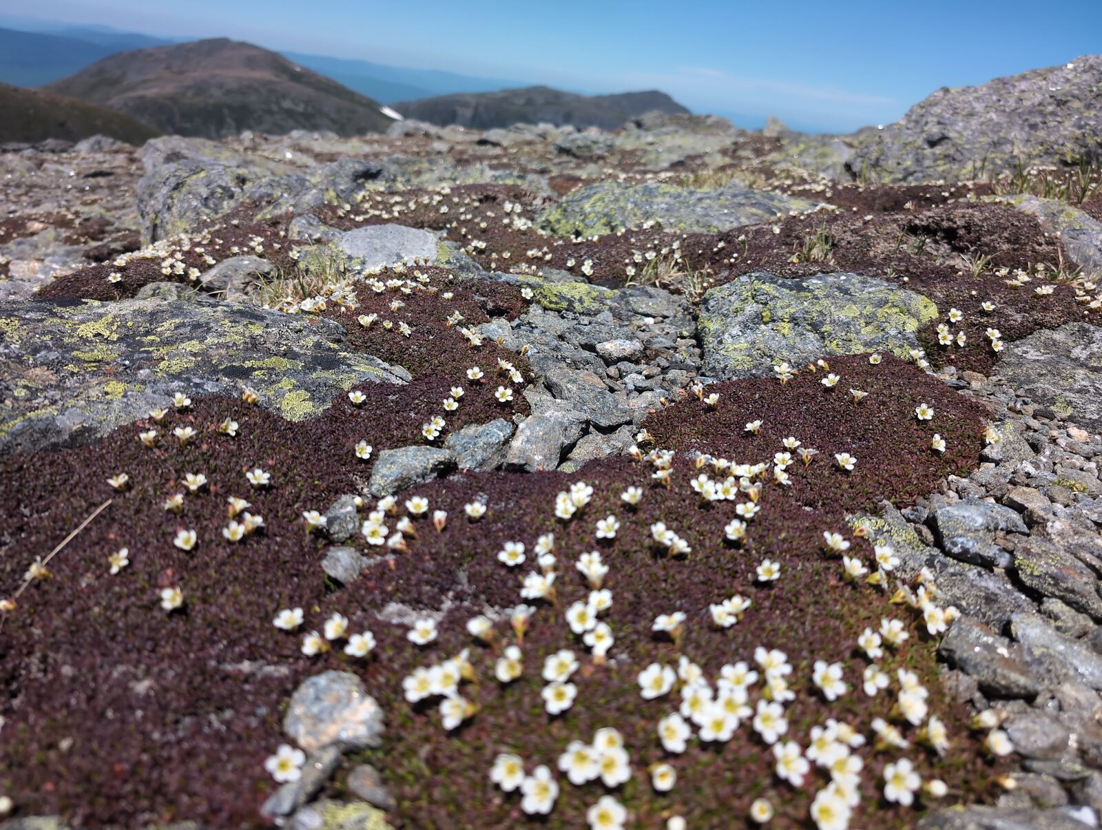
Alpine Ecosystem
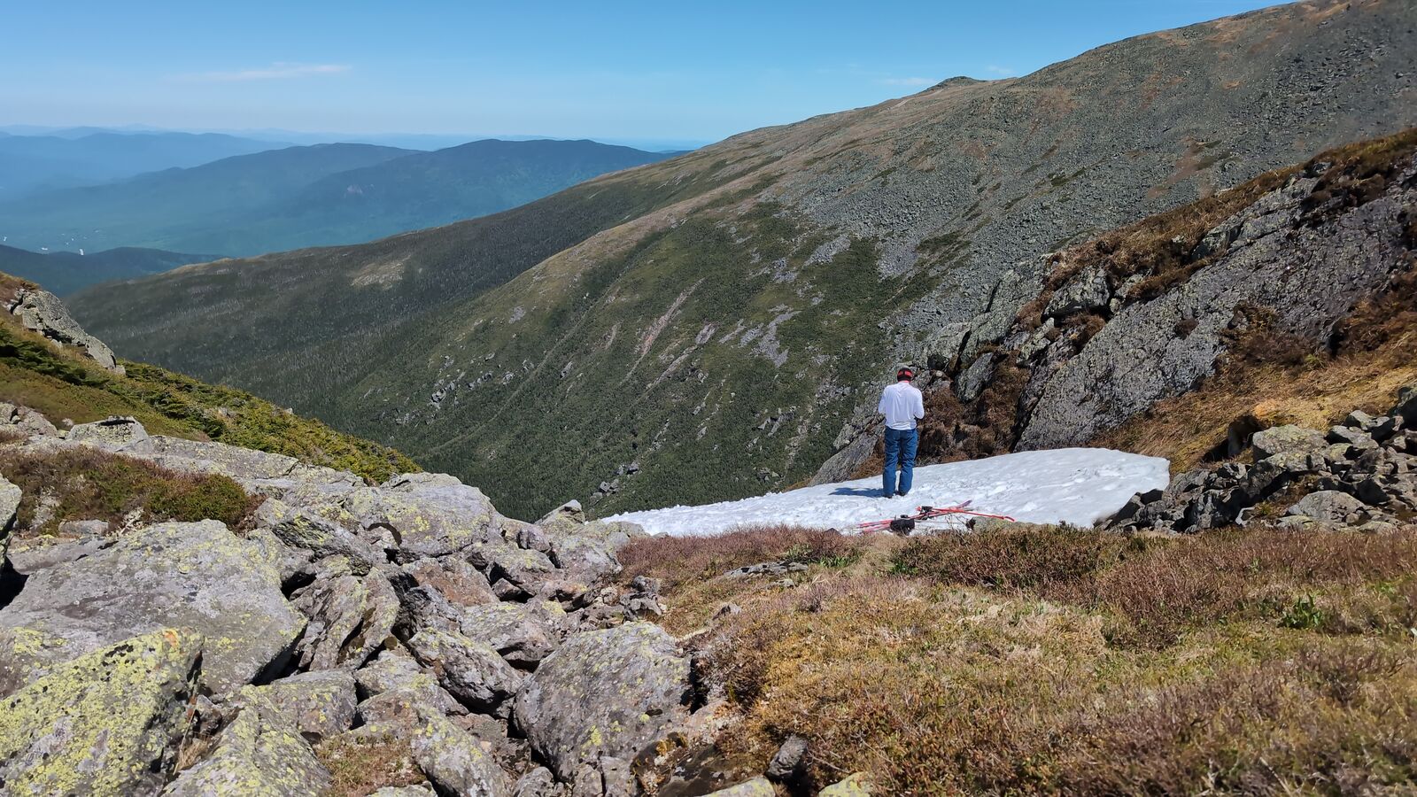
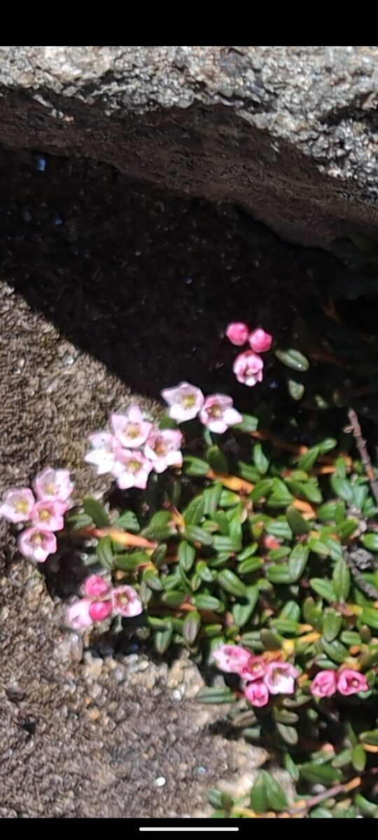
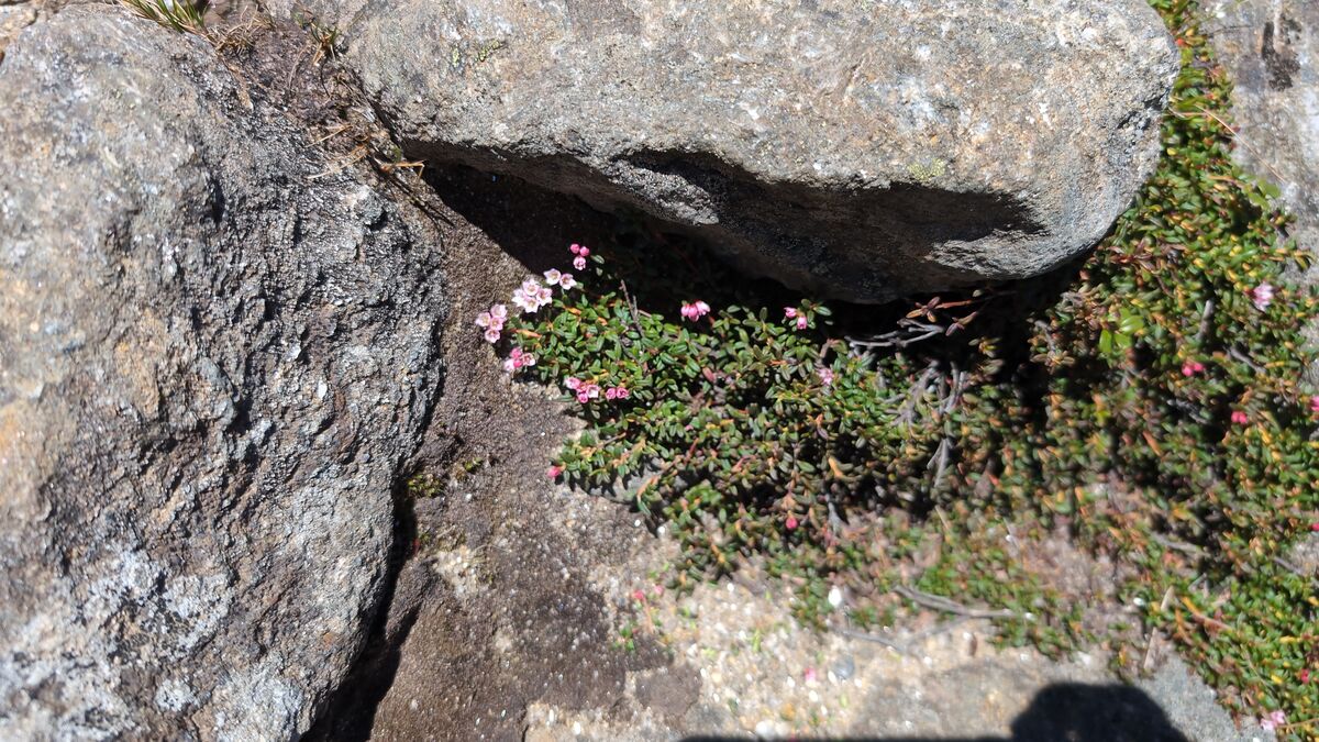
The summit's alpine zone hosts plant communities more typical of sub-Arctic Canada than New England. Historical and botanical notes from the commission will make each species a tour stop in its own right.
The Origin
Mount Washington, N.H. — July 20, 1877 — Vol. I, No. 1
In the summer of 1877, Henry Martyn Burt hauled a Campbell cylinder press up Mount Washington by cog railway and set it inside the stone Tip Top House. On July 20 he published the first edition of what would become the first daily newspaper printed on a mountain summit in America.
"We never feel so infinite as when we are looking upon these lofty mountains and the thousand beauties that are limited only by human vision."— Henry M. Burt, first editorial, July 20, 1877
Burt planned his press runs to coincide with the Cog Railway schedule, printing the names of arriving passengers so they could buy a souvenir copy on their way back down. He survived a lightning strike while typesetting in 1883. The paper ran every summer until 1917.
Among the Clouds is now in the public domain and held in full by the Library of Congress via the Chronicling America collection. On July 20, 2027, the 150th anniversary of that first edition, amongthe.cloud launches as a living continuation of Burt's mission: telling the story of Mount Washington to everyone who makes it to the summit.
Open source, self-hosted
No app store. No subscription platform. No per-seat license. The full stack runs on a self-hosted VPS behind Caddy, deployed from Git. Content authors use a web editor with no Git knowledge required.